Drone Surveyors in Newcastle, Hunter Region, Central Coast, Sydney & Western NSW
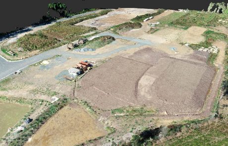
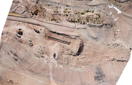
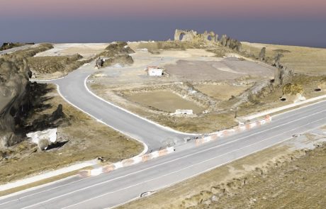
de Witt Consulting are CASA certified to provide a wide range of services utilising the latest drone technology. Our licensed personnel are able to provide a variety of high quality survey, mapping, GIS and visualization products. de Witt Consulting’s drone capabilities are GPS RTK guided, which allows improved accuracies and efficiencies. Our team of surveyors are able to verify inflight data providing confident results from our products. All outputs can be tailored to suit our clients’ needs and all major file types are supported.
Capabilities:
- Georeferenced aerial imagery and orthomosaic images;
- Detailed high-quality imagery suitable for Construction planning and GIS applications.
- Point clouds.
- Effective for architectural applications, monitoring and planning.
- From small detail surveys to extended road/rail corridors.
- Contours.
- Detail surveys.
- Volumetric calculations
Please click here for our Capability Statement
For more information on our range of services in Newcastle, Sydney and Western NSW, get in touch with our team today. We can tailor a solution to fit your needs.


