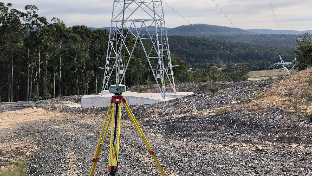
This project involved the establishment of MGA and AHD values for mine subsidence marks placed 10 and 50 metres apart over 5 lines totalling 17km in length prior to the commencement of the longwall operations at Ulan Coal Mines. A static GNSS control network was established from SCIMS control marks beyond the limit of influence of the subsidence (ie beyond 5km in each direction) and incorporated marks within the influence zone along each line. Each line was subsequently traversed using set of angle and double faced radiations to each subsidence mark from two survey stations. All survey data was reduced and least squares adjusted in Compnet which indicated that all survey data was better than Class B. The survey was repeated for verification; with the results of both surveys being in extremely close agreement in horizontal and vertical which was a testament to the methodology devised for the undertaking of the survey.
Our key involvement was the preparation of the methodology for the surveys, supervision of up to three survey crews, completing risk assessments and satisfying all safety requirements of the mine relating to the undertaking of the survey by de Witt personnel, reduction and least squares adjustment of all data (approximately 700 marks), compliance with legislative and client standards including the calibration of survey equipment.