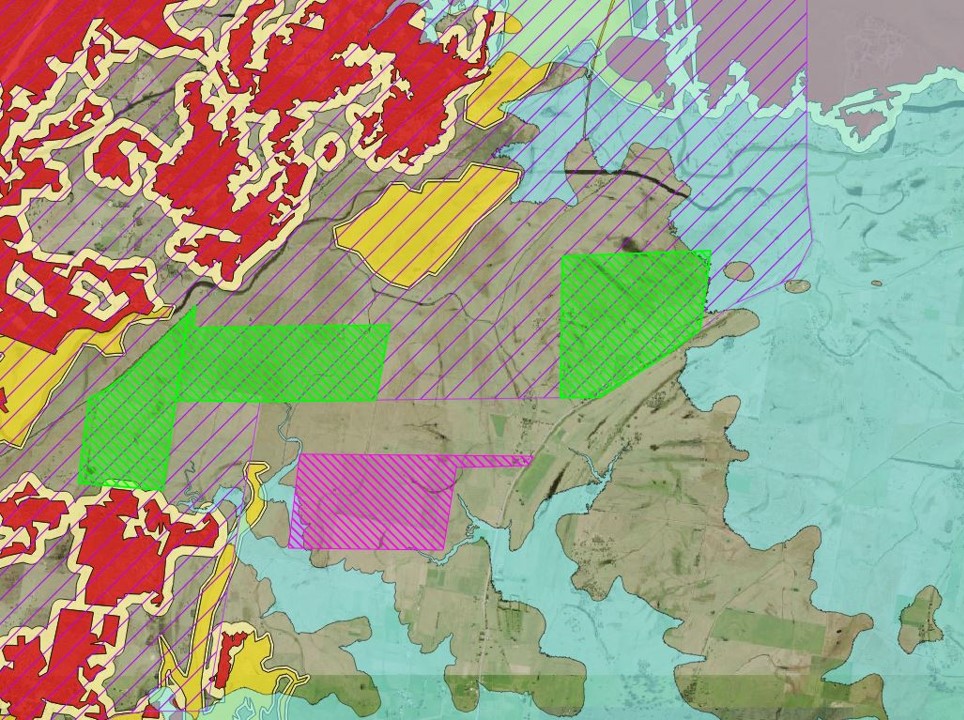
Recently, de Witt Consulting’s GIS team helped prevent a client from the labour-intensive task of manually searching for the right site for their next project.
Our team streamlined this process using GIS, taking over 37,000 sites and narrowing these down to just 24 viable sites in just a few hours.
How? Our GIS team works collaboratively with our town planners and other specialist teams to develop a tailored set of criteria for the specific development type and client’s needs.
Then using both skilful and creative problem-solving these criteria undergo processing in GIS to effectively automate what would normally be a tedious manual process.
This capability is proven to:
- Save what could be days or weeks on manual research;
- Negate the need to coordinate information from various individual specialists; and
- Significantly reduce the costs associated with the traditional labour-intensive process.
We can offer a ‘one-stop shop’ approach to your next development –
- from our GIS team finding you the right site;
- our planning team navigating the development application process;
- providing expert advice and services in areas such as land survey, sewer/water design and ecology;
- right through to project managing the development.
Get in touch today to find out more about how we can take your next project from an idea to reality.
Find out more about GIS capabilities.