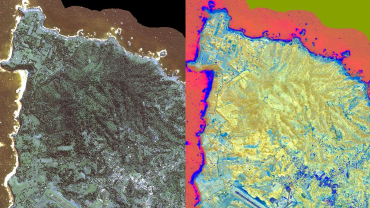
Norfolk Island is Australia’s Galapagos, full of endemic species completely unique to this pacific gem. This project involves an assessment of the present biodiversity and a recording of co-variates across landscapes on the Island, to plan land use and conservation into the future. Methods undertaken include, sampling of biodiversity and environmental variables at stratified random sample sites. Analysis of high-resolution multispectral satellite images was undertaken to define plant community types, man-made landscapes, vulnerability to pest and weeds and vegetation condition. These outputs were validated using on-ground data collection and in conjunction were used to build spatial models including, habitat models for threatened species, risk models for pest and weeds, opportunity models, and land use change models.
Client: Norfolk Island Council