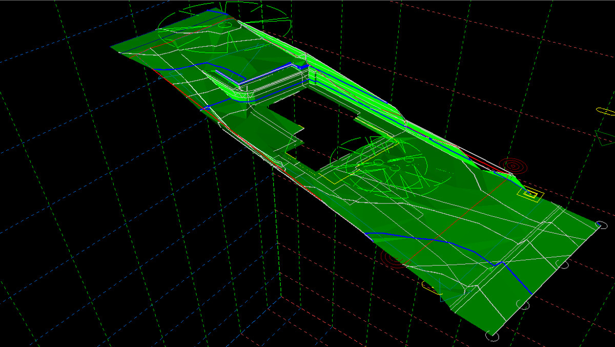
Whether by conventional surveying techniques, GPS, Laser Scanning, Aerial drone Capture our expert team of surveyors are able to provide Digital Terrain Models for all scales and sizes for all project purposes.
Additional deliverables that our team can provide includes;
- High Resolution Aerial Imagery,
- View seeking imagery at height intervals for proposed building height determinations,
- 3D Point Cloud Data,
- Georeferenced Site Photographs,
- KML and KMZ Google Earth overlays,
- Conventional site sections and elevations.

