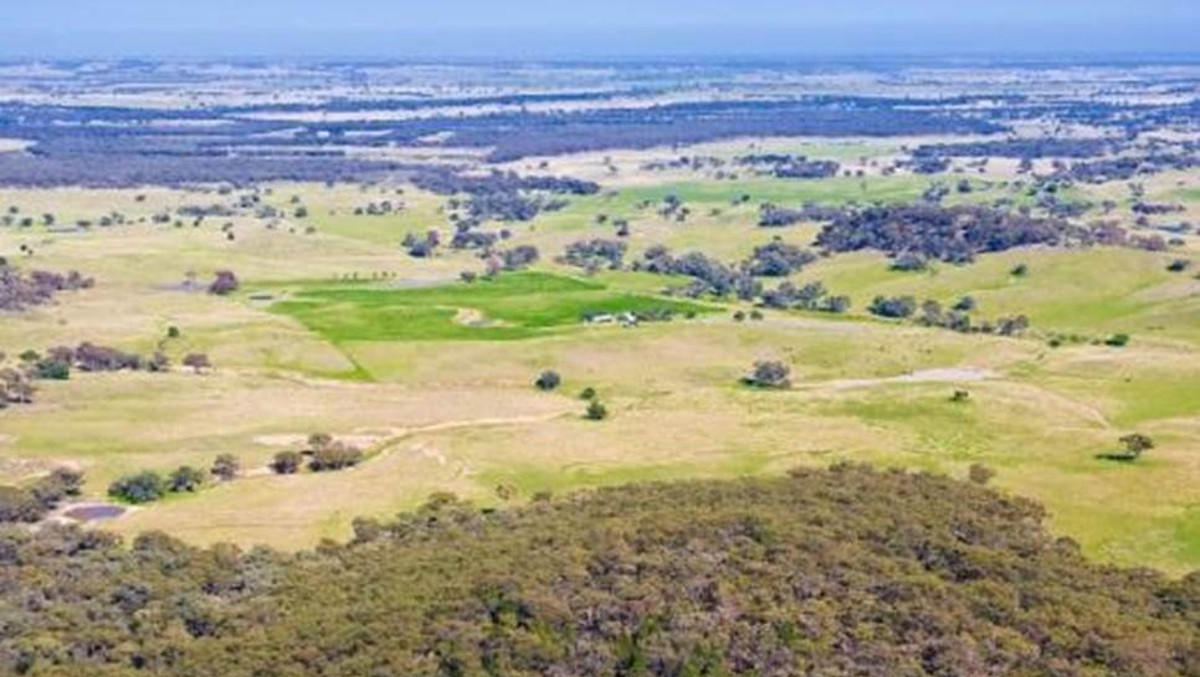
de Witt Consulting has provided ongoing surveying services to the Cobbora Coal Project, an extensive proposed mining project west of the Hunter Valley. The project had a massive project application area of approximately 27,000 hectares.
Following the approval of the project and the unsuccessful sale of the project, the NSW Government has decided to dispose of land and return it to agricultural use. Our involvement with this project has included:
- Extensive cadastral boundary surveys.
- GNSS control survey to establish a survey control network for the site for the coordination of all survey and mapping.
- Detail and topographical surveys to facilitate the design of proposed mine infrastructure.
- Implementation of a survey based cadastral model of the site and surrounding land holdings which provides a dynamic, cost-effective solution which enables cadastral constraints to be considered with appropriate accuracy.
- Preparation of subdivision plans for acquisition of land from adjoining land holders.
- Developing proposed road re-alignments using constraints mapping (GIS) and report preparation on the roads strategy for the Project Concept Study.
- Participation in stakeholder meetings with landholders, Council and other agencies.
- Survey of exploration and geotechnical drilling programs.
- Coordinated a detailed survey of over 40 kilometres of infrastructure routes.
- Preparation of the mining lease plan over 8,500 ha.
- Preparation of Easement plans over proposed service routes.
- Land subdivisions.